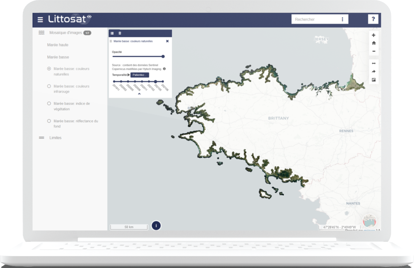
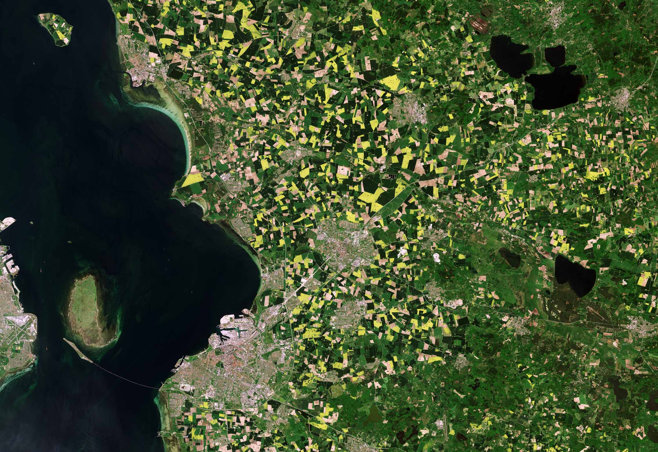
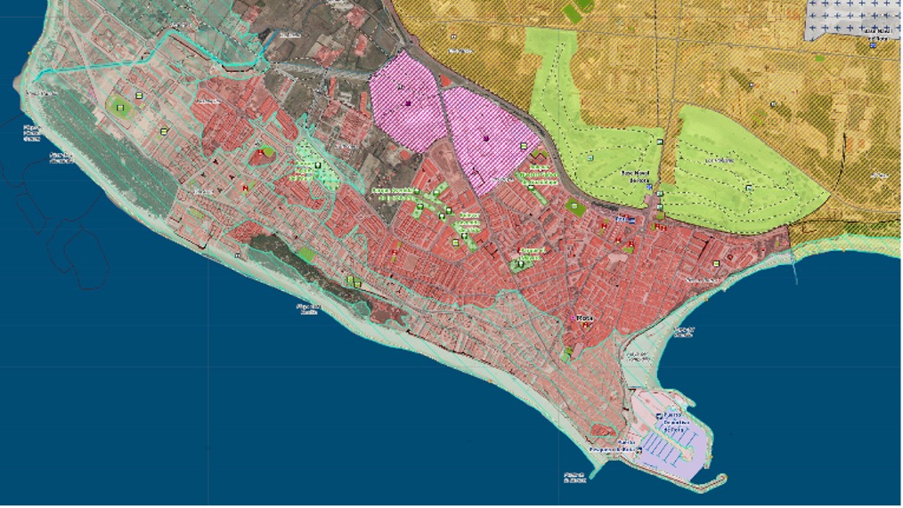
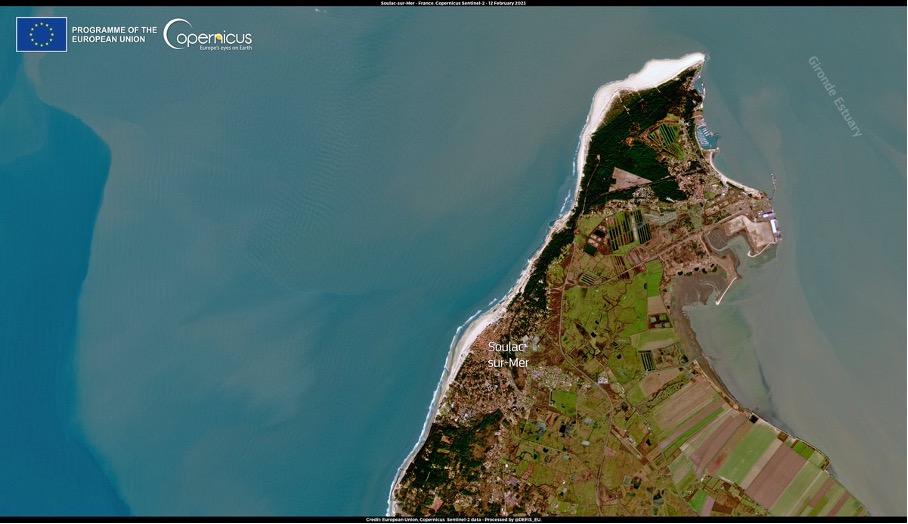
Spatial planning use cases
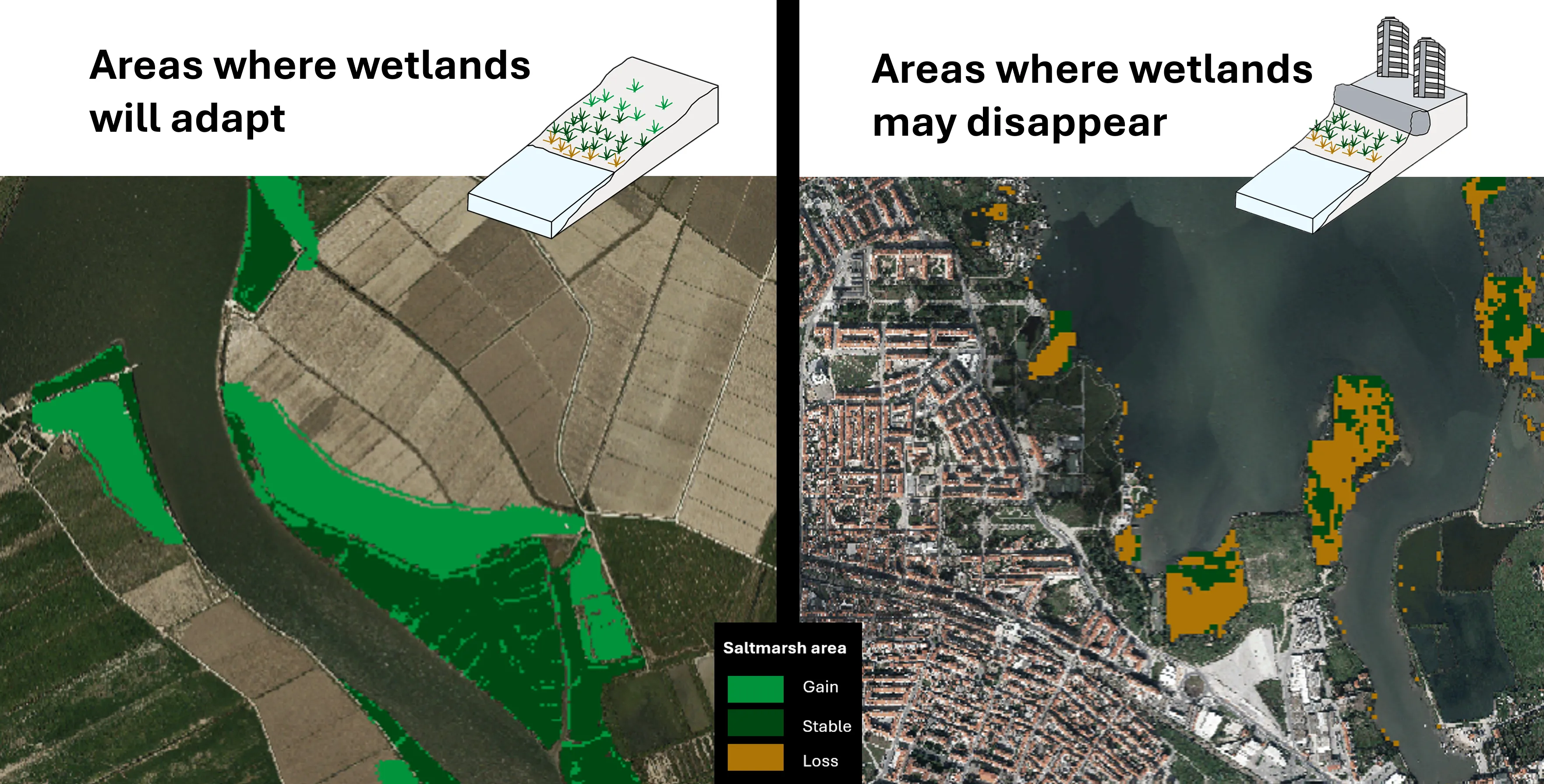
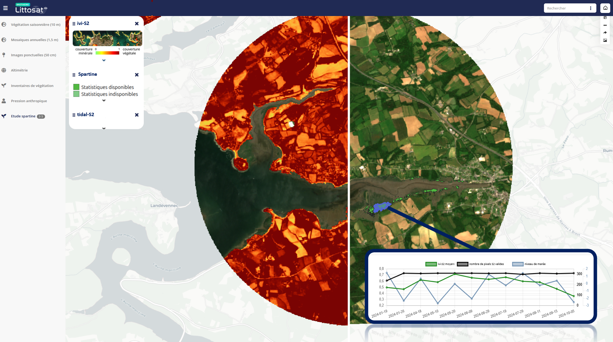
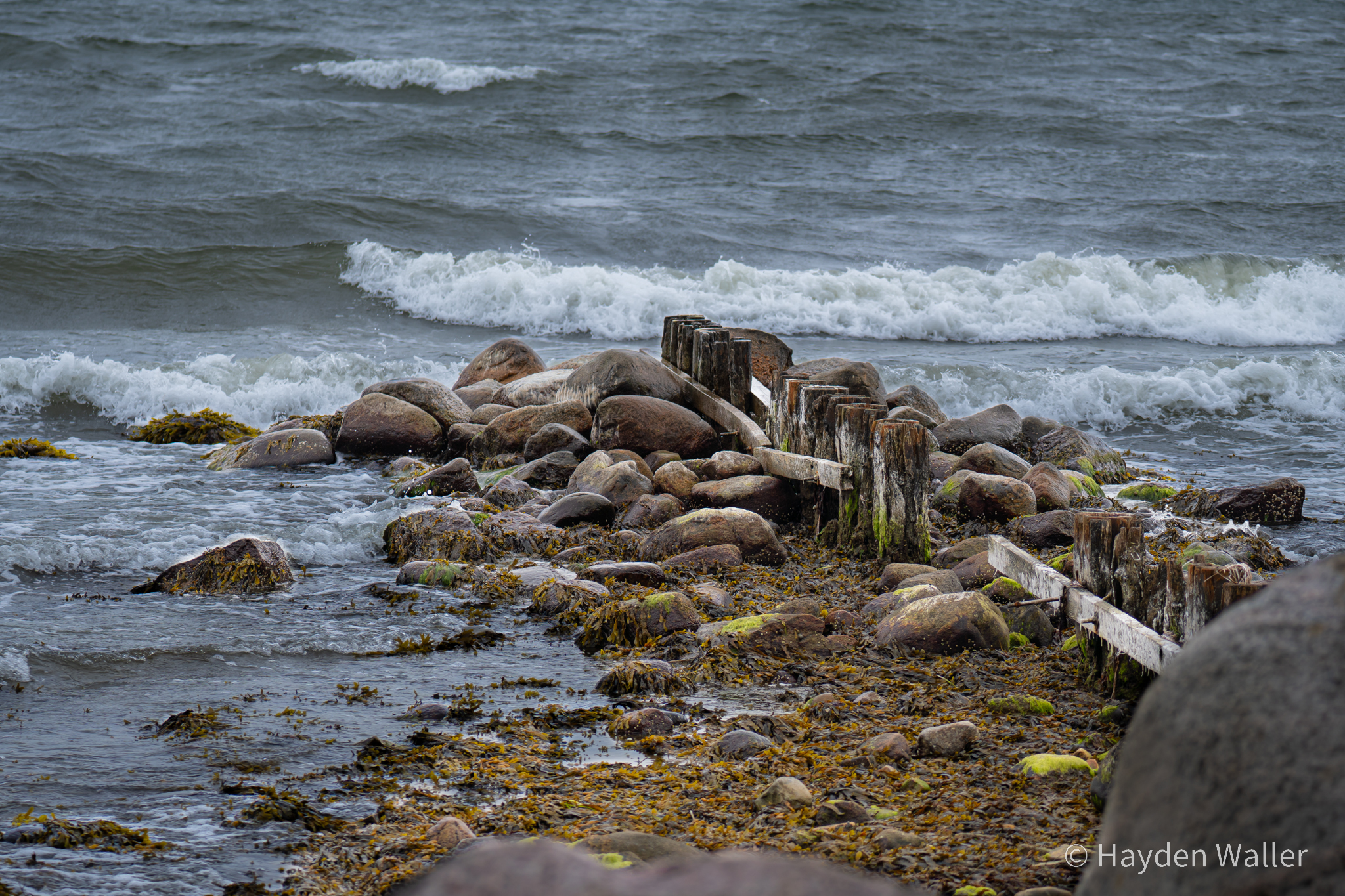
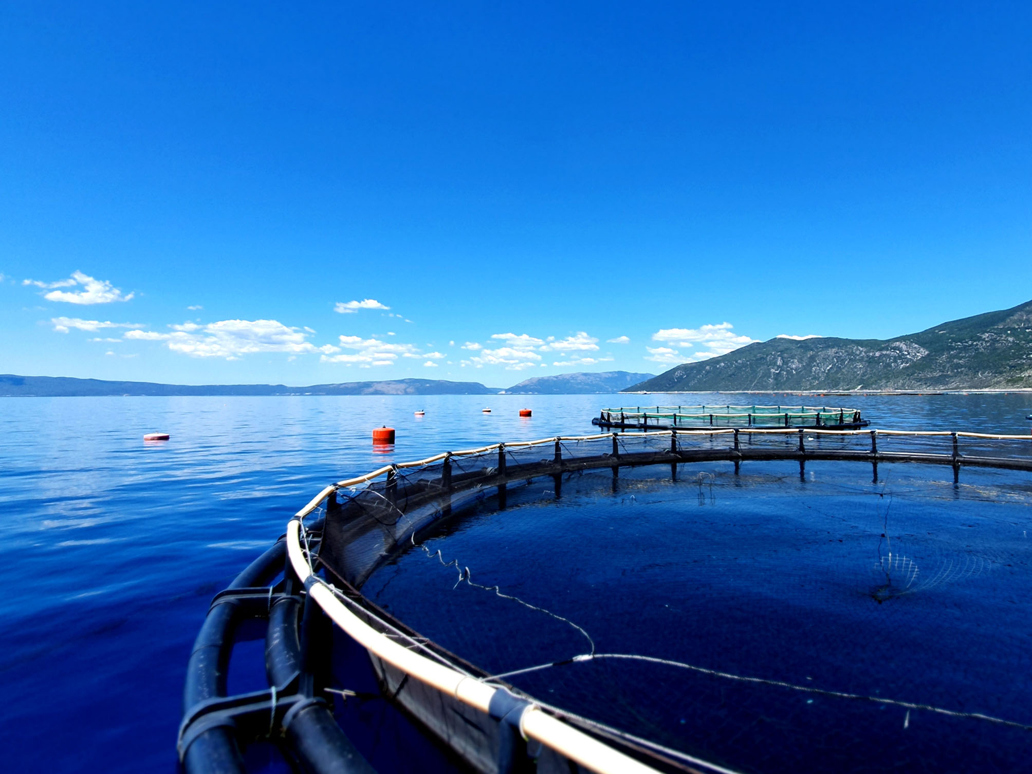
Human activities such as shipping, resource extraction, tourism, renewable energy and fishing are all putting pressure on marine and coastal areas. This results in habitat loss, pollution and accelerated coastal erosion. Moreover, climate change is likely to increase vulnerability of coastal zones, threatening health and resilience of coastal ecosystems. In 2014, the EU Directive adopted for the Maritime Spatial Planning highlighted the need to integrate all the EU policies that touch on maritime and coastal issues (Habitats Directive, WFD, MSFD…). It provides guidance for how to better manage the competing claims of economic sectors on space and resources in marine areas. The following use cases show how the Copernicus services can support Maritime Spatial Planning by providing the complementary data needed to evaluate risks, characteristics, and potential of coastal areas.


Other use cases