NEWS
Launching the Copernicus Coastal Hub.
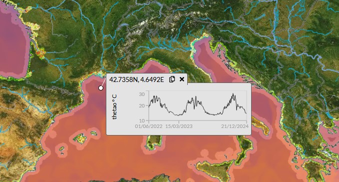
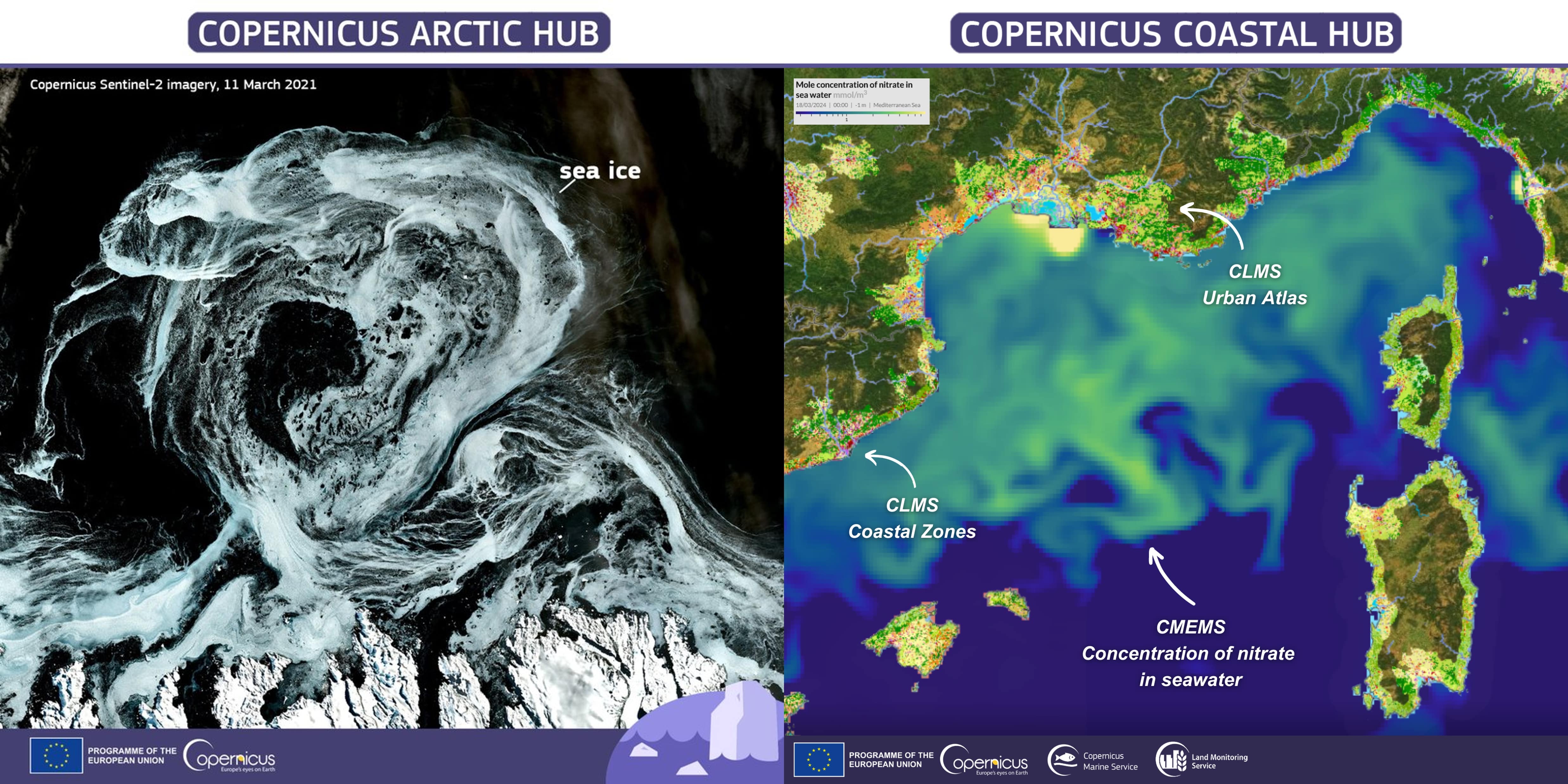
These observations, conveniently grouped in a single platform, are projected on intelligible map projections for global vision as well as detailed views. The diversity of the available data offers a valuable archive for decision makers and displays essential scientific knowledge for policy making towards the achievement of the adaptation objectives to the changes caused by the current climate and ecosystems emergency we face at a global level.
These sets of data can serve as a driver to protect biodiversity, for instance by enabling the detection of biodiversity hotspots, hence allowing to enhance preservation plans in these areas regarding fishing policies and maritime spatial planning. Data in respect to coastal land use and riparian zones is essential for enabling coherent land management in vulnerable marine ecosystems or particularly diverse areas.
The increasing concern for human health and biodiversity is expanding the demand for water pollution monitoring. Indications about plummeting biodiversity can serve as an alert mechanism for low water quality and uphold higher standards for urban wastewater treatment. These indicators can serve as guidance and lead to further investigation to uphold both bathing and drinking water quality. Likewise, since air pollution can directly impact the surface water bodies, monitoring of air quality also serves towards water resources protection. Conjointly, biodiversity and pollution monitoring work towards the Marine Strategy Framework Directive objectives.
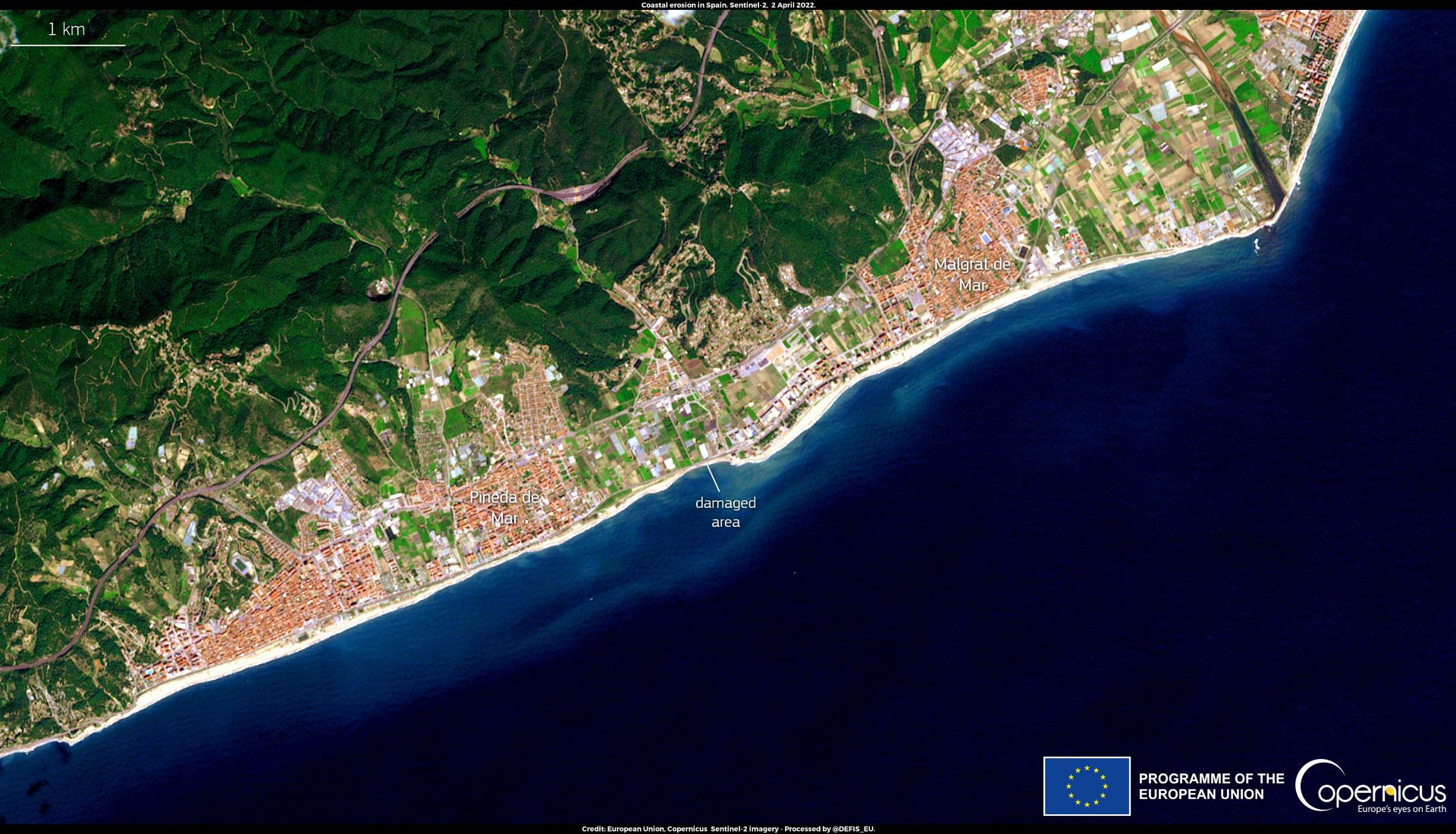
The information made available in the Copernicus coastal hub will be a decisive tool for infrastructure planning, whether on land or offshore. On the continent, hydrological data coupled with precipitation change indicators allow to plan for suitable flood risk management, and river discharge is valuable to assess the production capacity of hydropower plants and adapt production to mitigate the effects of droughts or floods. Coastal erosion is becoming a major concern and needs to be acknowledged for any new infrastructure construction. Offshore, seabed mapping and biochemical information support maritime spatial planning for cables and pipelines, while knowledge on currents can assist the choice for suitable locations regarding offshore hydropower.
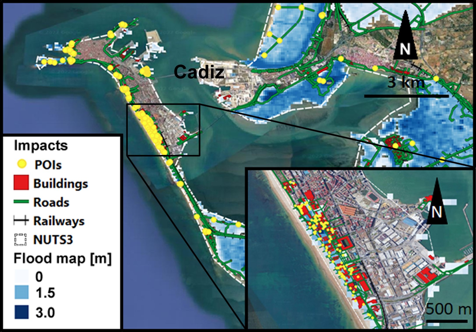
Overall, the Copernicus coastal hub provides a large supply of scientific data to support crucial decisions to be made towards the EU climate change policy, strengthening our capacity to work towards a sustainable future.


