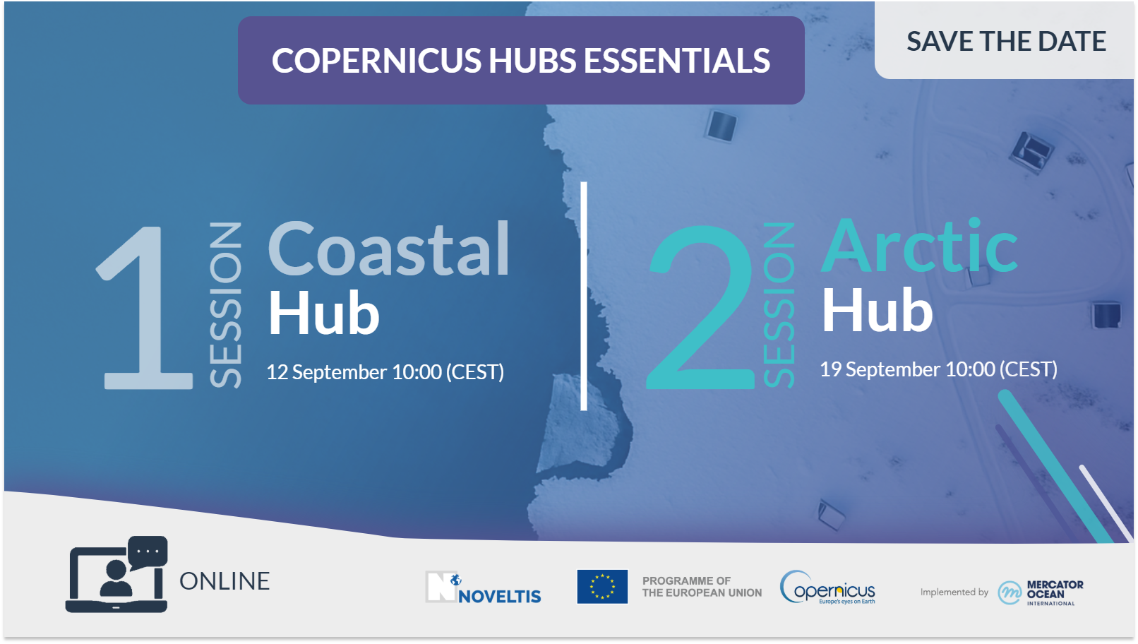
NEWS
Monitoring the Land–Sea Connection in Pärnu Bay
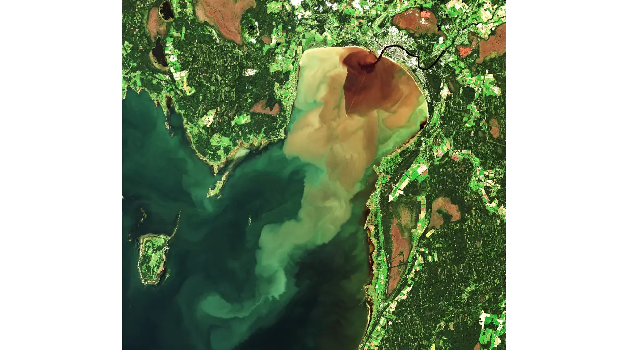 Credit: European Union, Copernicus Sentinel-2 imagery
Coastal management challenges in Pärnu Bay
The Pärnu River catchment on Estonia’s southwest coast drains a diverse landscape of agricultural zones, forests, and urban areas before flowing into Pärnu Bay.
These upstream regions release nutrients and other substances, such as pollutants, that influence the bay’s ecological balance. Elevated chlorophyll-a levels, algal blooms, and reduced water transparency indicate eutrophication and declining water quality – key challenges for coastal management.
Understanding the Link Between Land and Sea
Changes on land have well-documented effects on coastal ecosystems, yet riverine and marine environments are often managed separately. Integrating observations from both domains allows for a more holistic understanding of nutrient pathways and pollution sources.
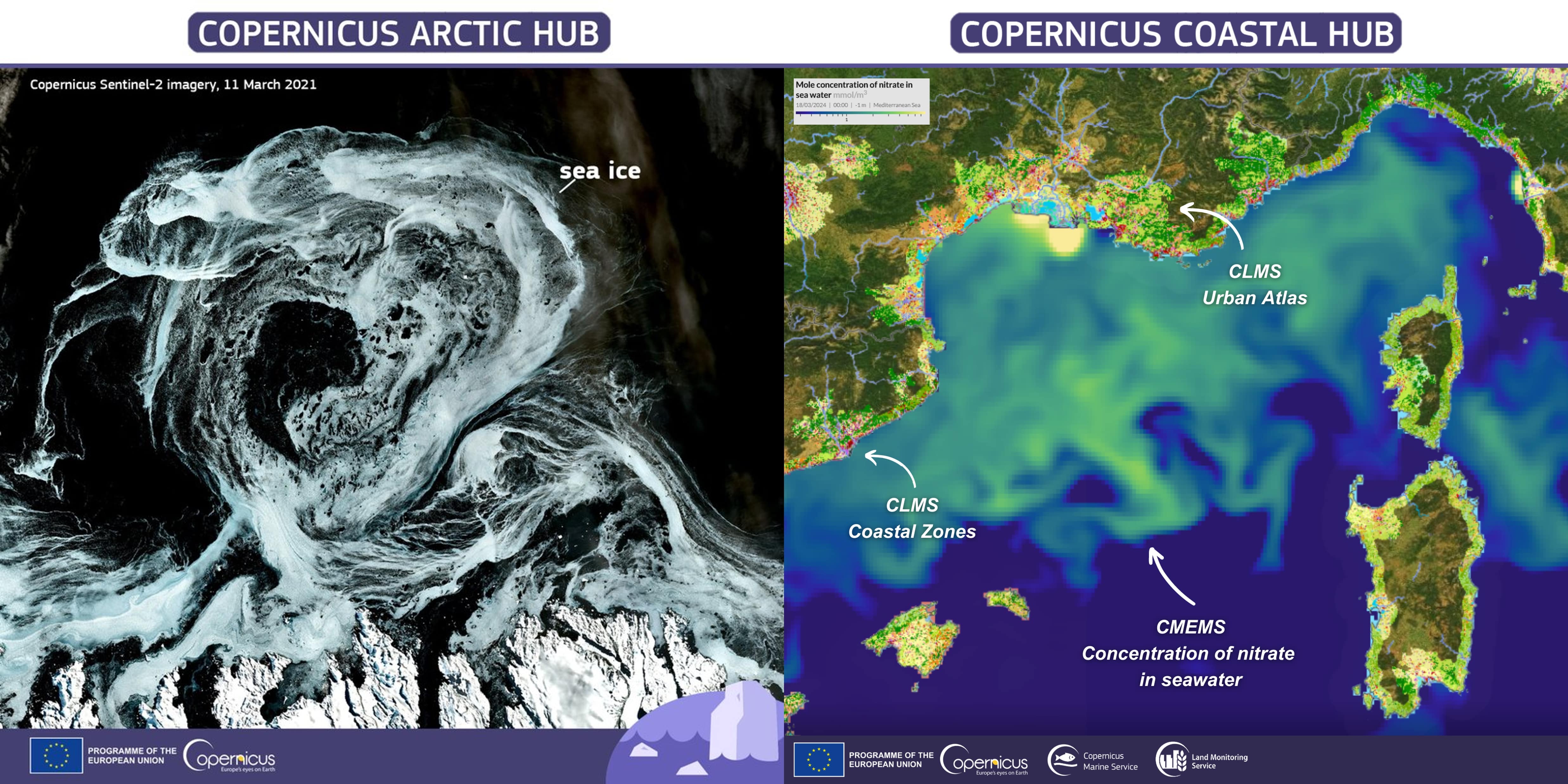
Researchers at the Tartu Observatory (University of Tartu) designed the Cop4ESTCoast web interface prototype under the Copernicus Coastal Hub. This user-friendly tool merges multiple datasets, combining:
- Marine datasets on nutrients, chlorophyll-a, and water transparency
- Land cover maps from the CORINE (Coordination of Information on the Environment) Land Cover database for 2012 and 2018
- A “difference” layer visualising land-use changes across the catchment over six years
 Integrated land–sea analysis for the Pärnu Bay use case.
The large panel on the left shows the CORINE Land Cover map of the Pärnu River catchment, highlighting agricultural (yellow), urban (red), and forested (green) areas. The four panels on the right present marine indicators derived from Copernicus Marine data: chlorophyll-a concentration, water transparency, nitrate (NO₃), and phosphate (PO₄), each annotated with the average value for the selected day. The combined visualisation of terrestrial and marine layers supports a more coherent understanding of how catchment characteristics relate to coastal water conditions.
Integrated land–sea analysis for the Pärnu Bay use case.
The large panel on the left shows the CORINE Land Cover map of the Pärnu River catchment, highlighting agricultural (yellow), urban (red), and forested (green) areas. The four panels on the right present marine indicators derived from Copernicus Marine data: chlorophyll-a concentration, water transparency, nitrate (NO₃), and phosphate (PO₄), each annotated with the average value for the selected day. The combined visualisation of terrestrial and marine layers supports a more coherent understanding of how catchment characteristics relate to coastal water conditions.
Key Insights and Applications
Mirjam Uusõue, who leads the Cop4ESTCoast project as a Research Fellow in Remote Sensing explains: “when looking in detail at the land cover in the Pärnu River catchment, it becomes evident that agricultural areas and the city of Pärnu have a strong impact on the water”.
Kersti Kangro, Associate Professor at the Tartu Observatory, reinforces this point: “We can clearly see how the nutrients coming from the Pärnu River increase the growth of phytoplankton in Pärnu Bay.”
This integrated analysis revealed a clear link between land-use change and water quality indicators such as chlorophyll-a concentration. The tool also supports national and regional authorities in implementing the EU Water Framework Directive, providing a scientific basis for managing agricultural practices, reducing nutrient runoff, and improving monitoring strategies.
Supporting Decision-making
This project can help a broad community of users. Researchers are able to explore how land-use changes shape nutrient pathways from river to sea. National agencies gain insight to pinpoint pollution sources and improve monitoring. Local authorities and policy makers can design more sustainable land-management plans, fostering better coordination between land and sea.
This use case underscores the need to manage river catchment areas in order to improve coastal water quality. By revealing the direct link between catchment activities and coastal water quality, this approach supports informed, data-driven decision-making, helping protect Europe’s coastal environments from river to sea.