
Coastal Hub
Continuously improved coastal data from Copernicus Services and Sentinel satellites supporting the Environmental policy implementation and the European Green Deal and academic/industry applications.
About Coastal Hub
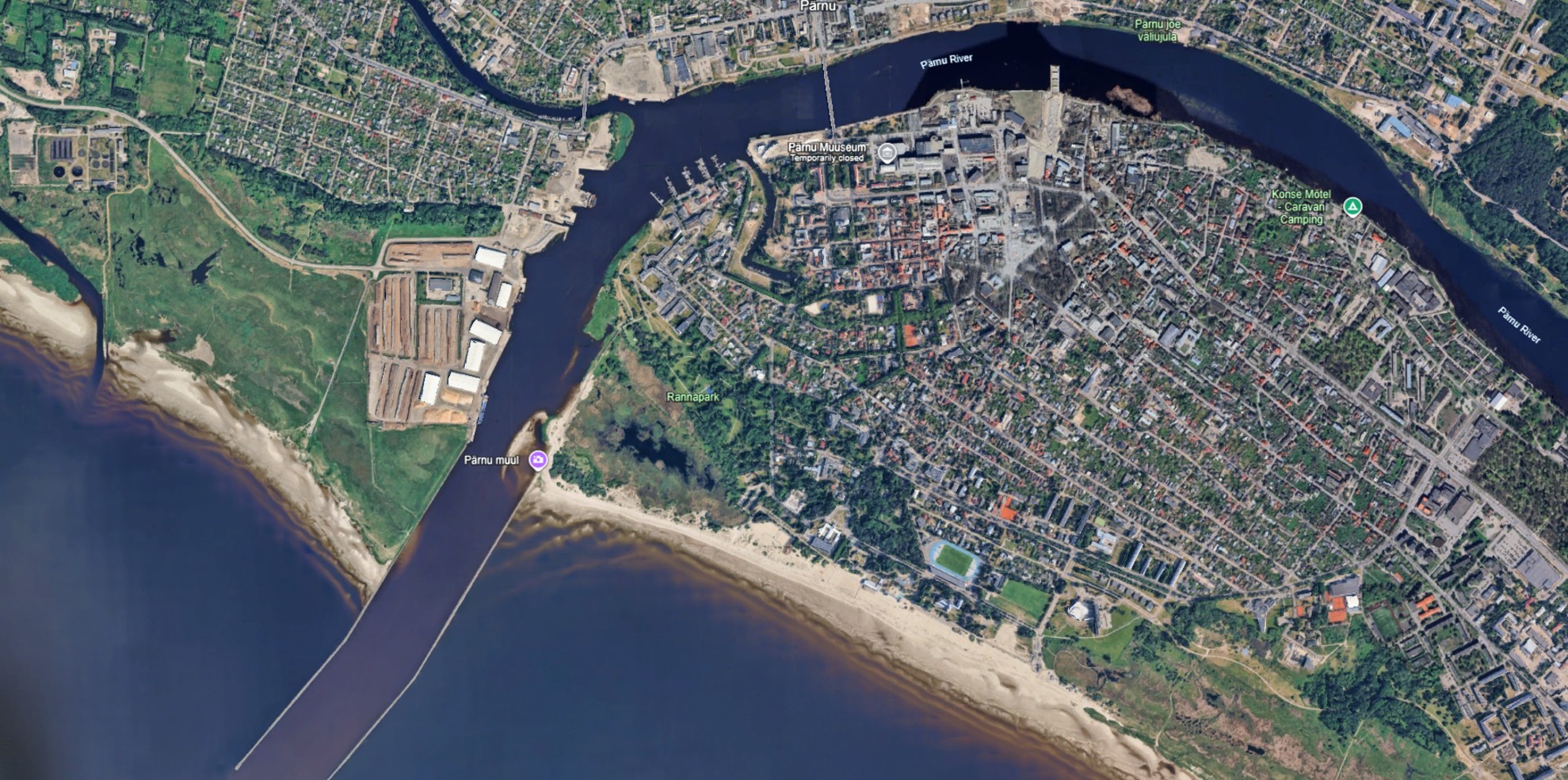
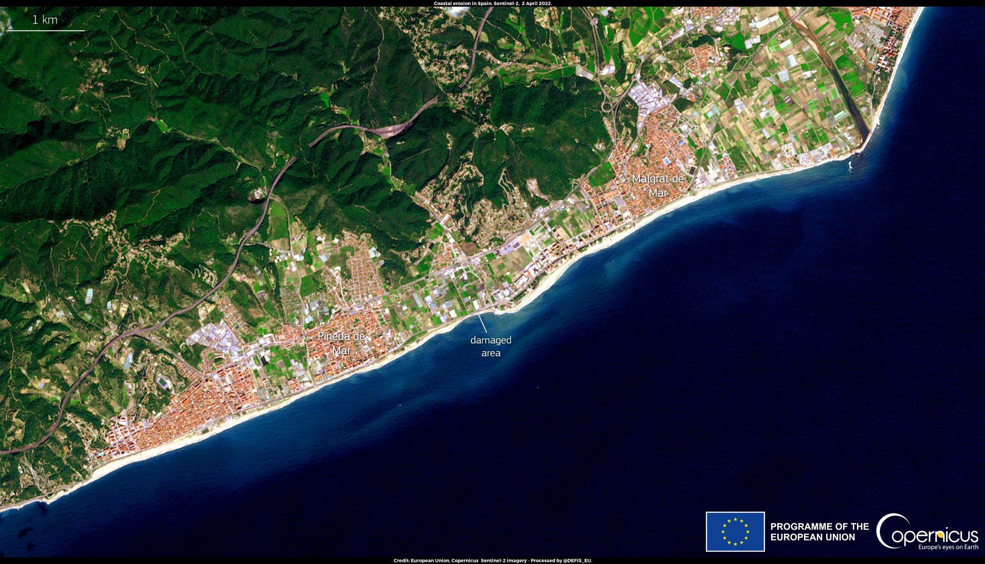
With climate change, the sea level has risen 10 cm since 1993 endangering coastal communities. Human activity also threatens these regions. Since late 2023, the Copernicus Coastal Hub has provided free access to comprehensive data that can be used to monitor floods and support sustainable fisheries and tourism.
Data in a nutshell
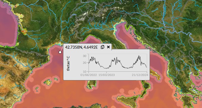
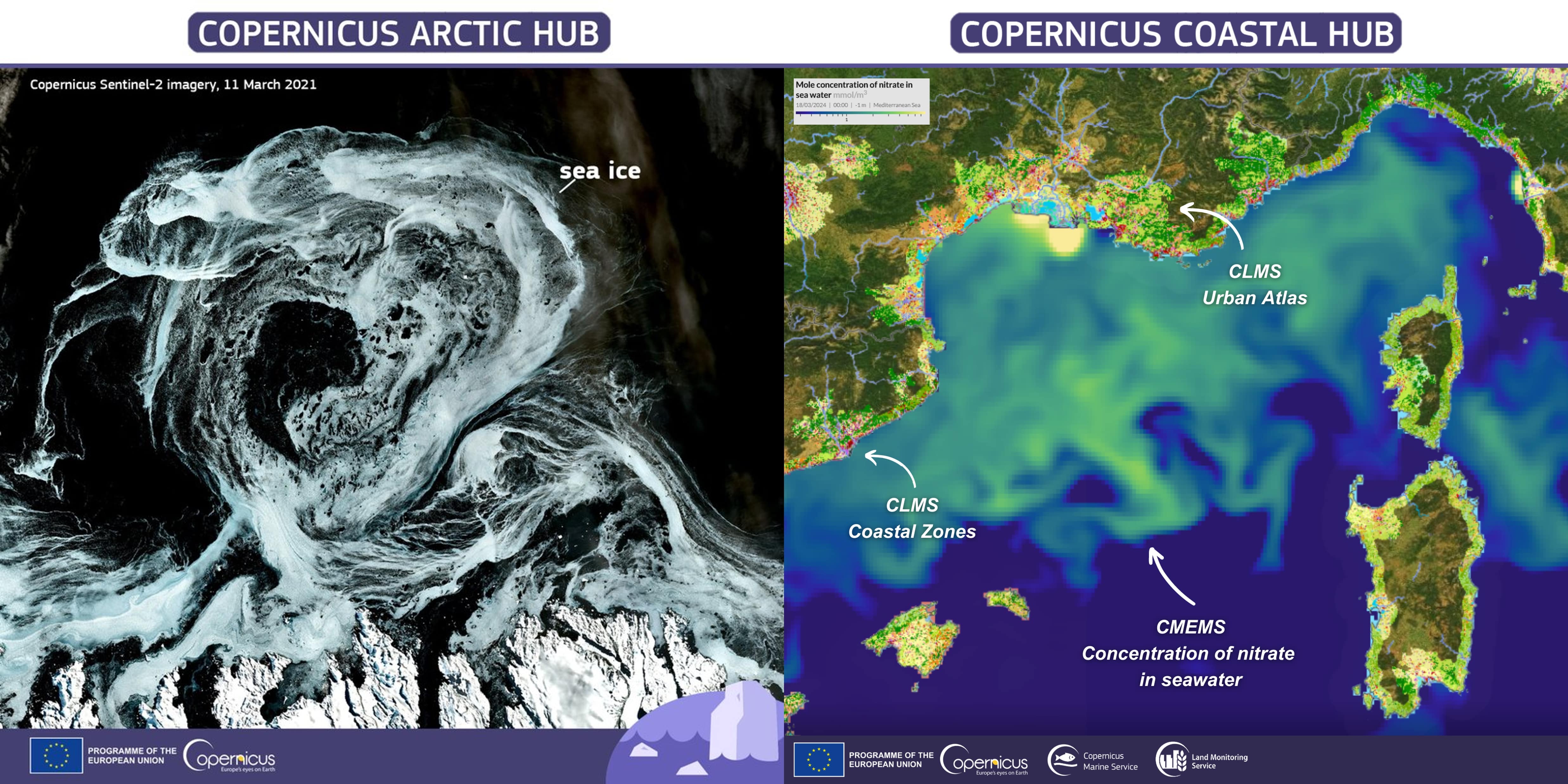
A selection of open and free Earth Observation data covering the European Coastal zones including air, sea and land products and information that describes the coastal environment and a complex land-sea continuum through a large set of variables.
Read moreData & viewer
Access, download and visualize a selection of open and free Copernicus coastal Earth observation data from the Copernicus Sentinel satellites and all Copernicus Services (marine, land, atmosphere, climate, emergency).
Go to data viewerDiscover use cases
Find out how coastal Copernicus products and information are used in a set of various use cases, in particular for the implementation of the EU Green Deal.
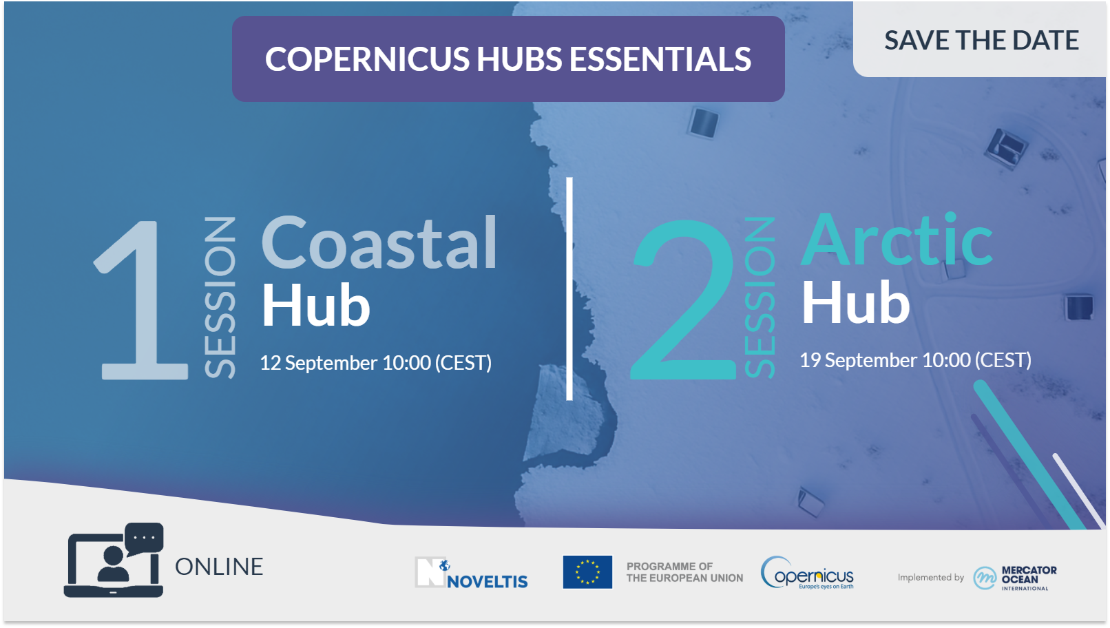
Read morenews & events


In collaboration with: